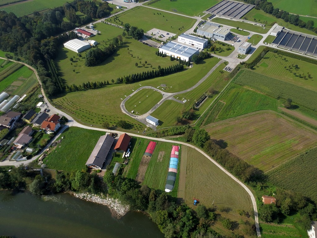
There are many reasons why unmanned aircrafts have become a very effective land surveying tool. First of all, they undoubtedly reduce the time needed to obtain accurate data. The georeferenced digital aerial photographs (3 cm/px resolution) enable us to gather millions of data points within a single short flight over the site in question. Once the obtaining of data becomes simple, greater focus can be put on advanced data processing and analysis. Significant savings in terms of time that was once required for on-site work enable faster results and lower costs. Last but not least, the land surveying teams working on-site can benefit from considerably lower risks involved in working in hard-to-access and dangerous places such as steep and unstable areas, caves etc. It is simply a matter of choosing a take-off and landing spot outside the danger zone, and all the rest is done by an unmanned aircraft.
Aerial photos are ideal for photogrammetric processing and measurements. Using professional algorithms, we can make raster and metric 3D models of the surface which provide an excellent foundation for the processes of segmentation and creation of Digital Terrain Models (DTMs), Digital Elevation Models (DEMs), Digital Building Models (DBMs), orthophoto mosaics, digital orthophoto plans (DOPs) or 3D simulations. In a digital environment where all data is geocoded within a common coordinate system, we are given diverse options to analyse and obtain new information. The data can be linked with geographic information systems (GIS) and incorporated in our analyses.

