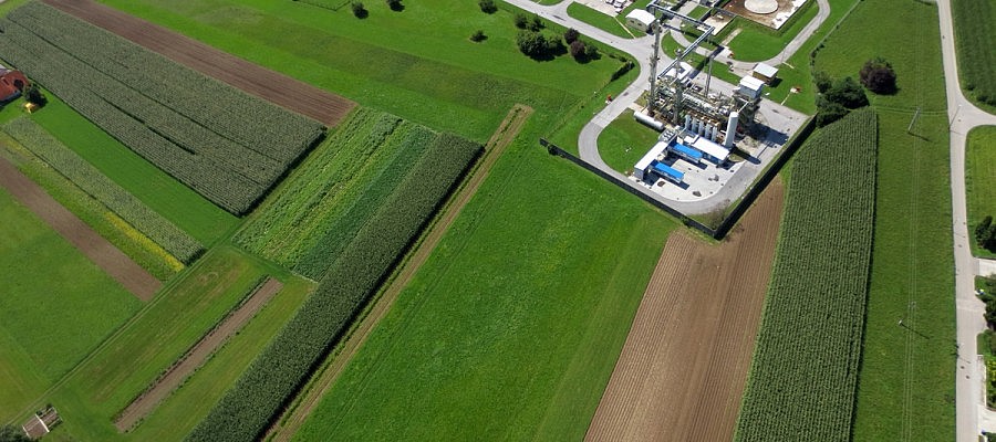
Aerial photos (especially orthophotos) have been used in town and spatial planning for many years. Since the appearance of small unmanned aircrafts, this technology can be used in a more ...
GEOSPACE
Geospace is Geavis' collection of domestic and foreign web contents describing the adventures of those small civil unmanned drones, the application aspects of aerial photography and geospatial challenges for the benefit of life and business.
BE INFORMED
We will not spam! Ever! You can unsubscribe any time.
© 2016 Geavis d.o.o.

