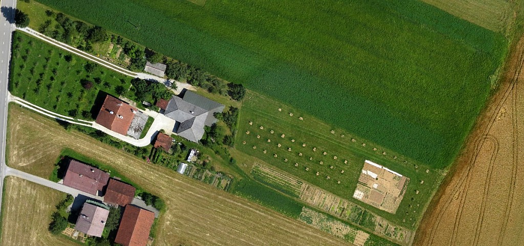
Obtaining data on farmland with high resolution aerial photography is becoming more commonly used in agronomy since the aerial photographs are the most up-to-date and objective document that include all essential information about the area under study. With suitable recording techniques and detailed interpretation, aerial photographs can be used for mapping of the farming use of land as well as for supervision and analysis of sown crops. An effective technique, especially in agriculture and forestry, is red and infrared colour recording, which allows for early detection of plant diseases and assessment of soil moisture.
The process which until recently took several days can now be done in just a few hours, since the overview of agricultural or forest land and the analysis of vegetation using aerial photographs provide enough quality information for making a fast diagnosis and timely decisions on further measures. What is more, by using the systematic and repeated aerial surveys, we can detect changes in cultures and quickly determine the extent and degree of damage to plants, which allows for timely intervention and prevention of damage.
