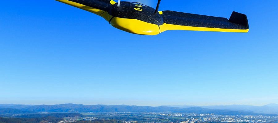
The eBee, the senseFly unmanned aircraft used by Geavis, has been tested for take-off at up to 4.000 m (13,123 ft) above sea level ...
GEOSPACE
Geospace is Geavis' collection of domestic and foreign web contents describing the adventures of those small civil unmanned drones, the application aspects of aerial photography and geospatial challenges for the benefit of life and business.
BE INFORMED
We will not spam! Ever! You can unsubscribe any time.
© 2016 Geavis d.o.o.

