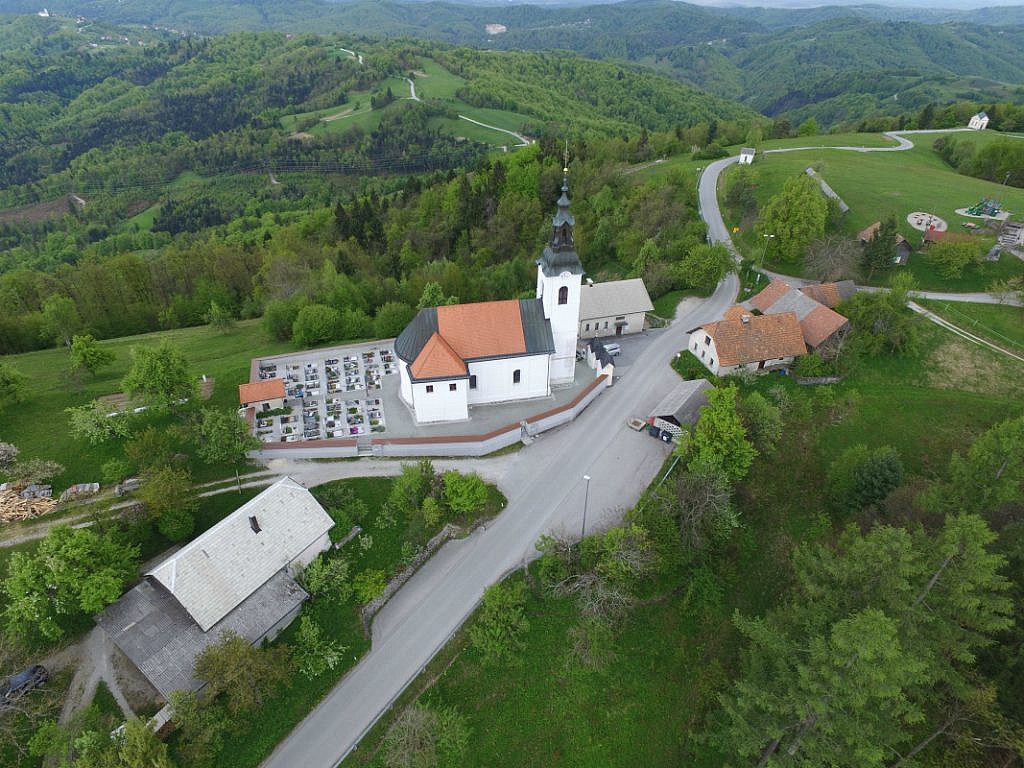
The area size that can be imaged during the flight depends on the flight altitude. By flying at higher altitudes the area size, which is captured on aerial photographs, is increasing. But at the same time, the less the details on the Earth’s surface are visible, which means that the spatial resolution decreases.
The flight altitude is a result of the spatial resolution required by the drone operator; when this resolution is set in the drone’s flight planning software, the program automatically determines and sets the optimal flight altitude. In addition to the flight altitude, the camera technical capabilities also have an effect on the size of the captured area. Plus, the terrain configuration, potential obstacles, etc.
In the case of eBee, the senseFly unmanned aircraft used by Geavis, which is equipped with the Canon S110 RGB camera, the table below illustrates how the area coverage varies in dependence of the aerial photographs. With a full battery, the eBee flight in practice typically takes up to 30-45 minutes.
| Aerial photography resolution (cm/px) |
3 |
5 |
10 |
30 |
| Mean flight line altitude (m) |
104 |
162 | 302 |
872 |
| Lateral overlap |
60% |
60% | 60% |
60% |
| Single image coverage (m x m) |
120 x 90 |
200 x 150 | 400 x 300 | 1200 x 900 |
| Total ground coverage (km2) |
0.9 |
1.56 | 2.7 | 5.97 |
