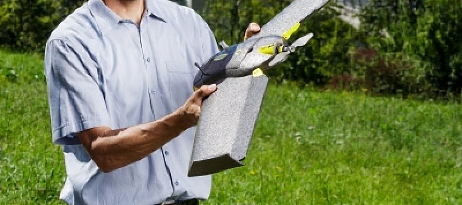
To ensure operational reliability, flight safety and the quality of captured geospatial data with an unmanned aerial vehicle, careful monitoring of the aircraft condition and professional calibration of the entire device as well as its individual parts are required ...
GEOSPACE
Geospace is Geavis' collection of domestic and foreign web contents describing the adventures of those small civil unmanned drones, the application aspects of aerial photography and geospatial challenges for the benefit of life and business.
BE INFORMED
We will not spam! Ever! You can unsubscribe any time.
© 2016 Geavis d.o.o.

