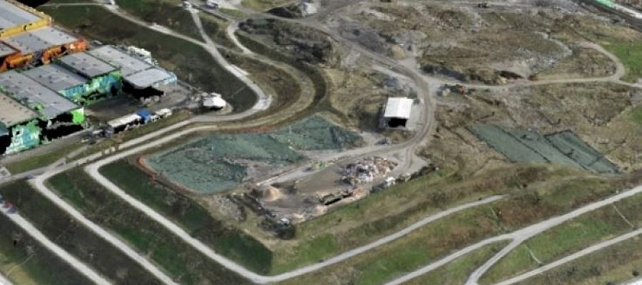
Professional photogrammetry software enables operators to create a range of outputs in industry-standard file formats …
GEOSPACE
Geospace is Geavis' collection of domestic and foreign web contents describing the adventures of those small civil unmanned drones, the application aspects of aerial photography and geospatial challenges for the benefit of life and business.
BE INFORMED
We will not spam! Ever! You can unsubscribe any time.
© 2016 Geavis d.o.o.

