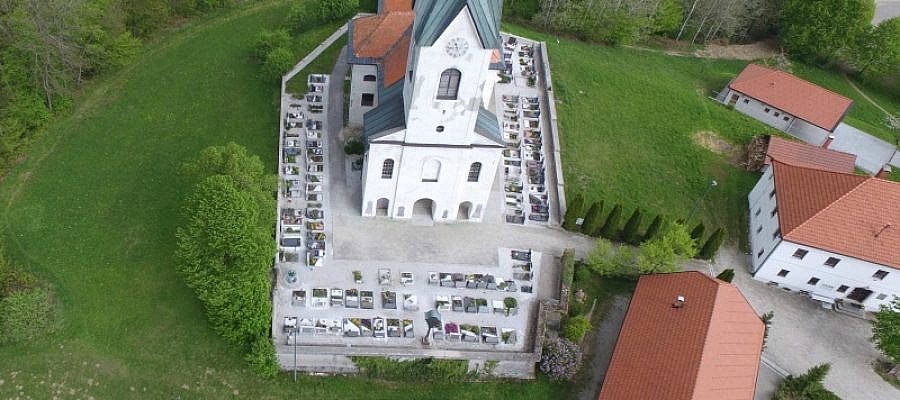
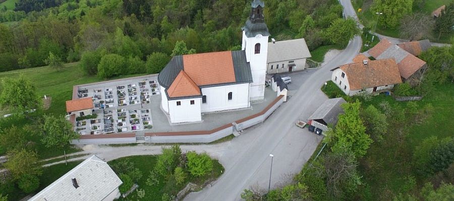
When it comes to the protection of cultural heritage, documenting the heritage objects is of key importance. Modern digital technologies serve us well in these endeavours as they enable ...
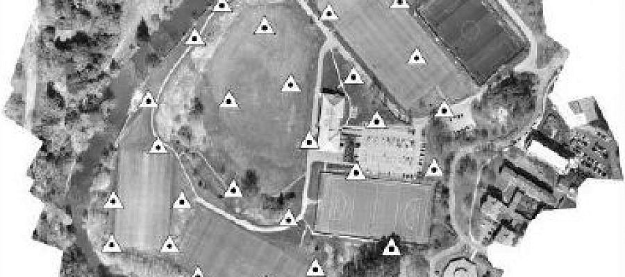
Interesting results of the study, how progressive numbers of Ground Control Points (GCP) effect on the DEM and orthoimage accuracies ...
The area size that can be imaged during the flight depends on the flight altitude ...
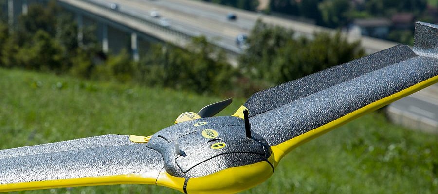
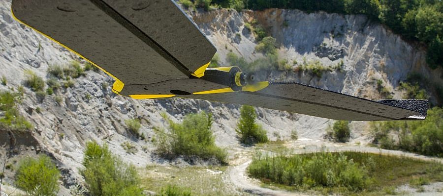
A senseFly drone flying out of radio range poses no problem. It certainly does not usually lead to a crash ...
If the drone's radio link is lost, the vast majority of cases this is not a problem ...
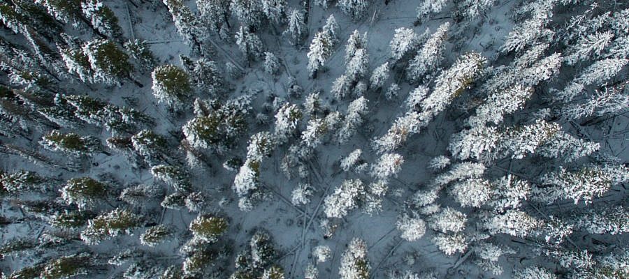
Flying unmanned aircrafts in winter conditions requires more caution than during other seasons ...
10 essential rules for safe flying set by the Civil Aviation Agency of the Republic of Slovenia (CAA) ...
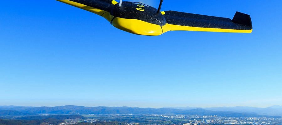
The eBee, the senseFly unmanned aircraft used by Geavis, has been tested for take-off at up to 4.000 m (13,123 ft) above sea level ...
Thanks to progress and digitisation, photogrammetry, once a traditional land surveying method and a science of making measurements from photographs, has been applied in a number of fields ...

