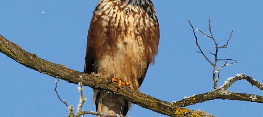
The new technological revolution brought about by the development of unmanned aircrafts raises a number of questions, including how their presence in the air impacts the original inhabitants of air space ...
The shutter type of the camera used to acquire imagery can influence the results produced by photogrammetry software. Images taken with rolling shutter cameras, for example, contain a vertical displacement ...
Regular aerial photos are made following the principles of central projection. This means that a photo represents the image of the earth’s surface as observed from a single point ...
The Regulation of Unmanned Aircraft Systems took effect In the middle of August in Slovenia. It lays down general technical and operative conditions for a safe use ...
The images of the Earth’s surface taken with a satellite or an aircraft (satellite images, aerial photos etc.) are ordinary digital photos that lack the information on how ...
Different techniques of capturing spatial data make it possible to create point clouds with various characteristics. Geavis compared point clouds obtained by using two different technologies ...
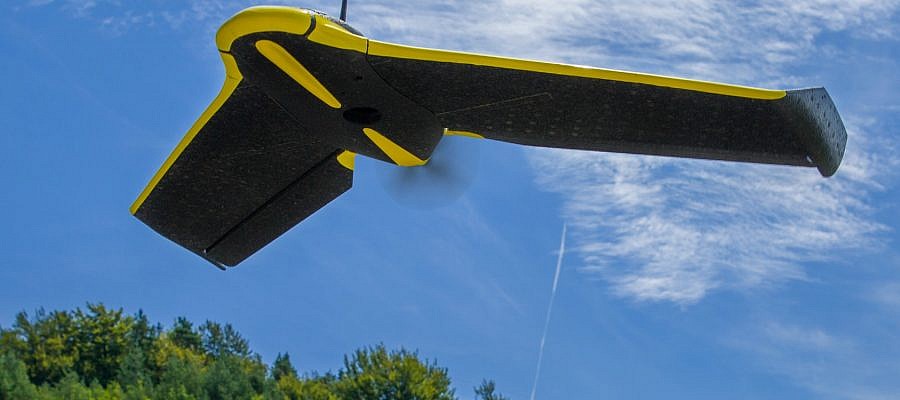
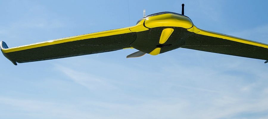
Every time senseFly unmanned aircraft captures a photo, it stops the operation of the engine and stabilized itself, and thus prevents vibrations that would distort the resulting aerial image ...
In creative design of the annual report for its client, the largest Slovenian energy company Petrol d.d., SM Studio Marketing planned a photographic material that would display a wide range ...
Geavis is the first and only Slovenian company so far, to which the Civil Aviation Agency of the Republic of Slovenia officially confirmed its Operations Manual for operations ...
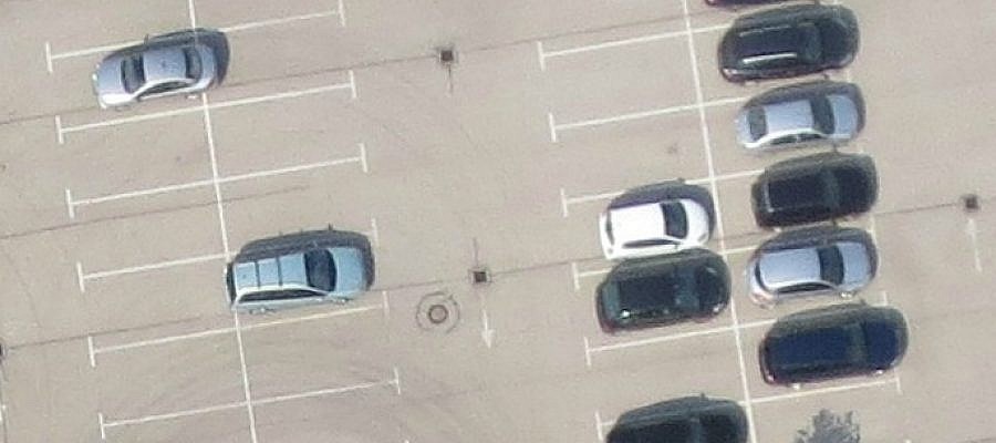
Digital aerial photos are composed of a matrix of pixels. Each pixel is actually a small square. GSD (Ground Sample Distance) tells the size of the side of this ...

