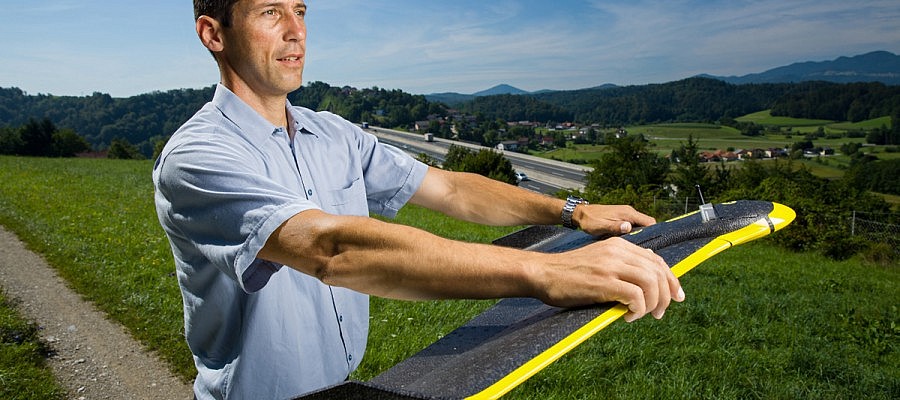
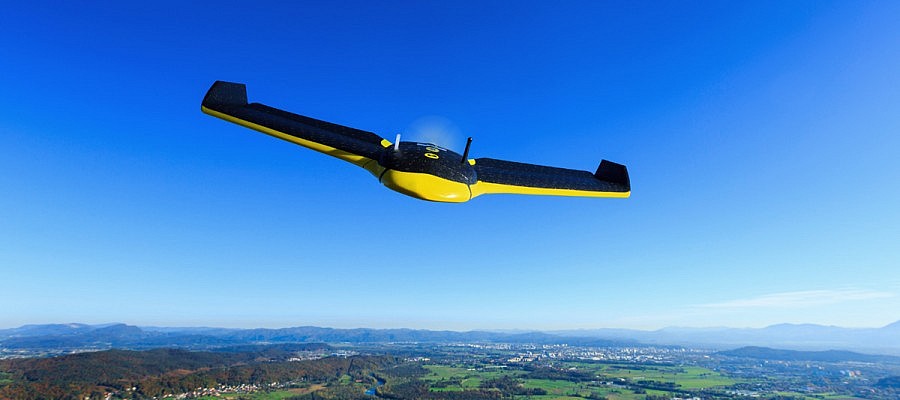
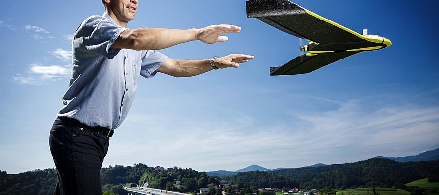
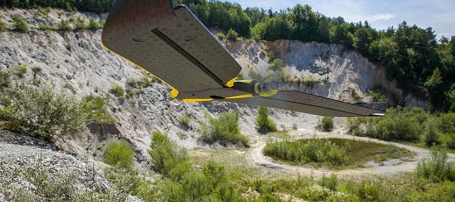
The senseFly eBee unmanned aircraft used by Geavis takes off from the operator’s hand after being directed against the wind in order to limit the necessary ground velocity. The aircraft’s ...
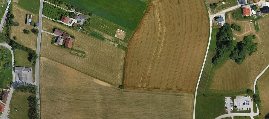
Aerial photos (especially orthophotos) have been used in town and spatial planning for many years. Since the appearance of small unmanned aircrafts, this technology can be used in a more ...
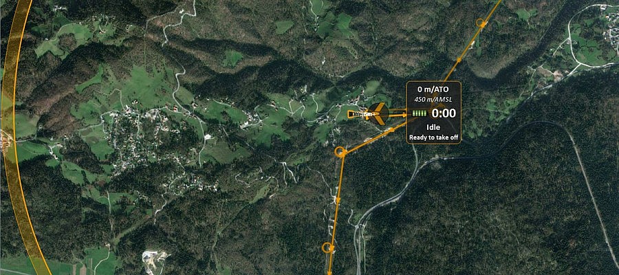
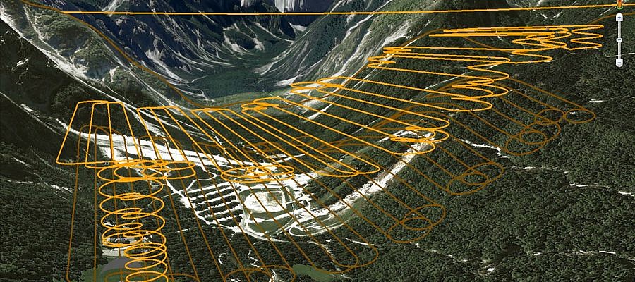
An unmanned aircraft operator monitors the flight by means of specialist software installed on a laptop. Prior to take-off, the operator must first prepare a flight plan, whereby the input ...
When it comes to aerial photography, hilly areas represent a special challenge. The camera acquires an image of the landscape in a fashion similar to that of the human eye ...
Great news from over the pond. American service company Advanced Aviation Solutions this month received a rare exemption to fly a drone commercially, from the US aviation authority, the FAA ...
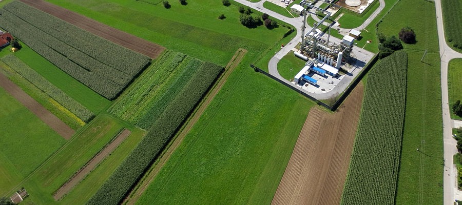
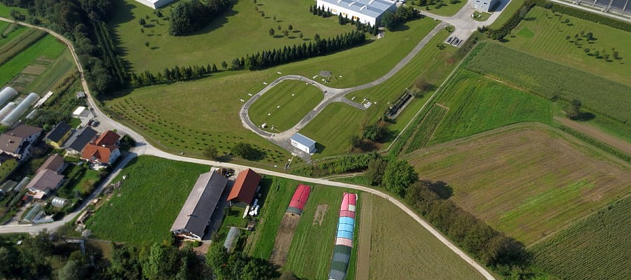
Obtaining data on agricultural surfaces by means of high-resolution aerial photography is becoming an increasingly economic solution as it is a safe and quickly realizable method that can be applied ...
Geavis uses senseFly eBee unmanned aerial vehicle whose flight endurance with a full battery is for about 45 minutes, and during that time it can overfly 30 km. By replacing ...
Photogrammetric procedures enable us to obtain a high-density point cloud that can exceed 100 points/m2 in areas where the texture of the surface is well defined. In addition to ...
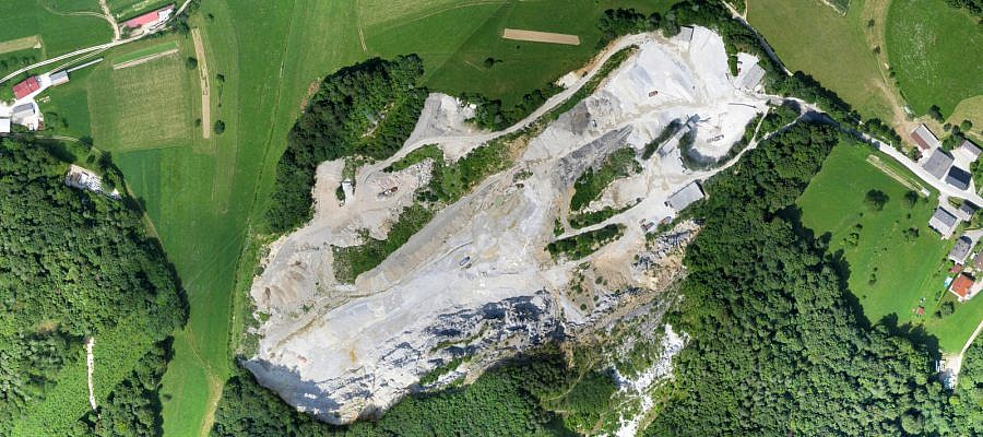
Numerous problems that are facing the experts in the field of excavation in quarries, sand pits and gravel pits can be solved by using the data collected via the aerial ...

