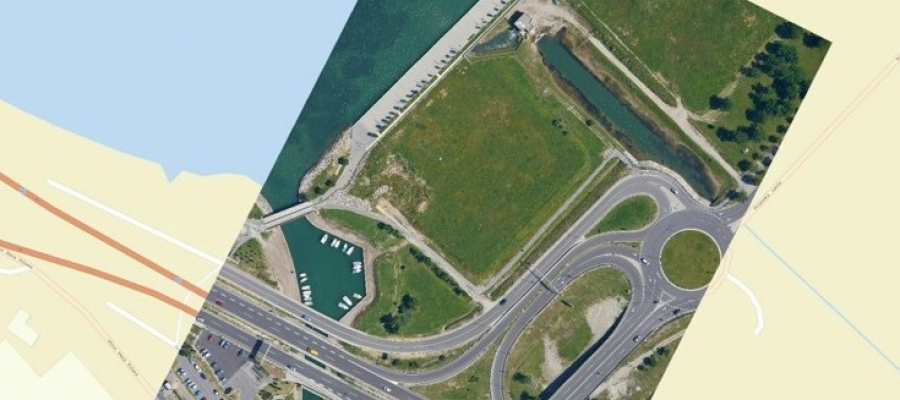
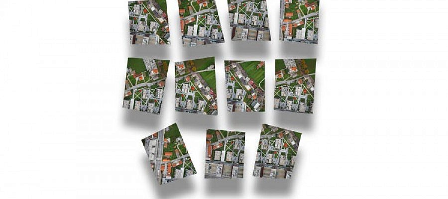
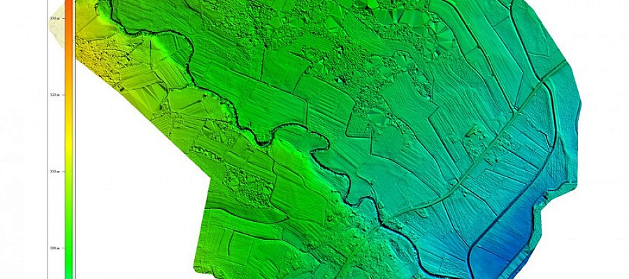
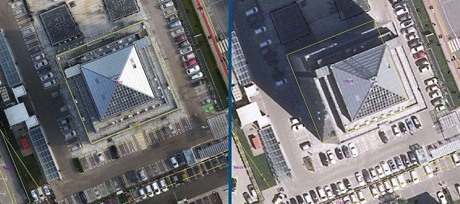
The images of the Earth’s surface taken with a satellite or an aircraft (satellite images, aerial photos etc.) are ordinary digital photos that lack the information on how ...
Different techniques of capturing spatial data make it possible to create point clouds with various characteristics. Geavis compared point clouds obtained by using two different technologies ...
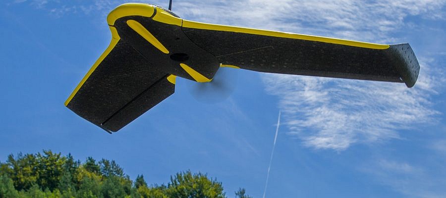
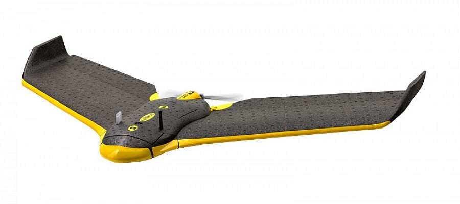
Every time senseFly unmanned aircraft captures a photo, it stops the operation of the engine and stabilized itself, and thus prevents vibrations that would distort the resulting aerial image ...
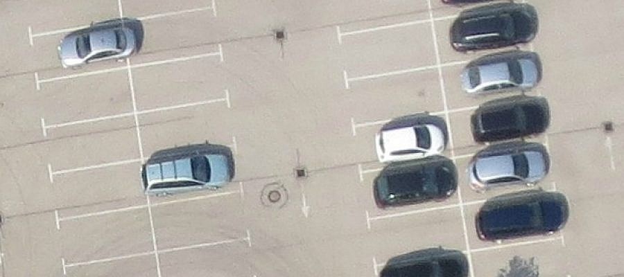
Digital aerial photos are composed of a matrix of pixels. Each pixel is actually a small square. GSD (Ground Sample Distance) tells the size of the side of this ...
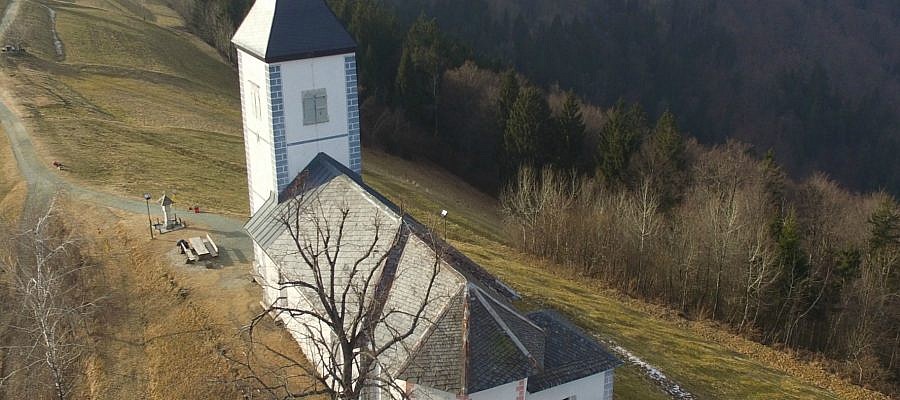
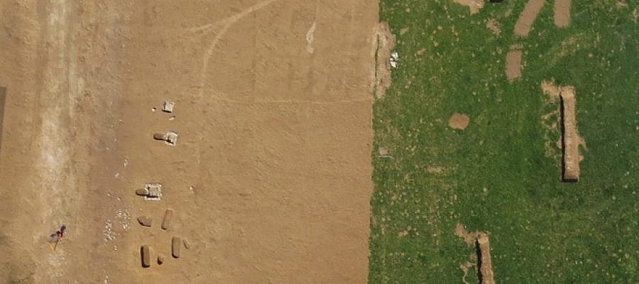
For scientific projects and research of archaeological heritage, a comprehensive overview of the landscape and its elements is essential. It is also useful to have a look from different ...
While until not so long ago drones were mainly used in the domains of military industry and miniature enthusiasts, they have now become becoming part of our everyday life ...
Ground Control Points (GCP) are points on the ground with known coordinates in the spatial coordinate system (i.e. both coordinates defining horizontal position and the altitude coordinate). Their coordinates are ...
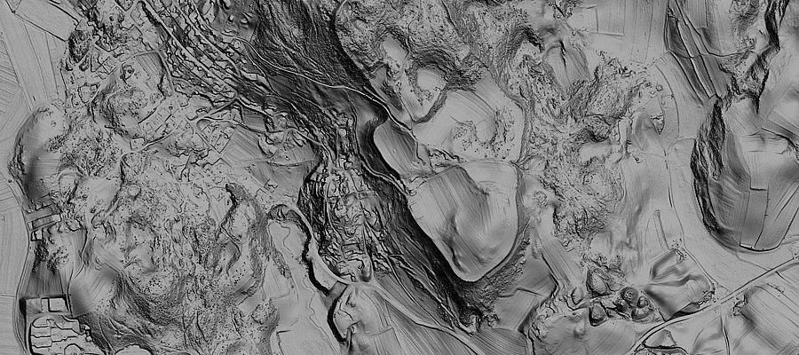
In September 2015, the Ministry of Environment and Spatial Planning began to provide terrain data for the whole of Slovenia. The data required for this purpose has been obtained ...
Any construction of new facilities requires intense preparations, in particular when speaking about business premises, infrastructure or facilities of wider social importance. New buildings may cause adverse effects on the ...
Nowadays, an orthophoto mosaic is one of the most popular products of modern photogrammetry. It is a product that explicitly shows ground terrain and constructed buildings. With the development of ...

