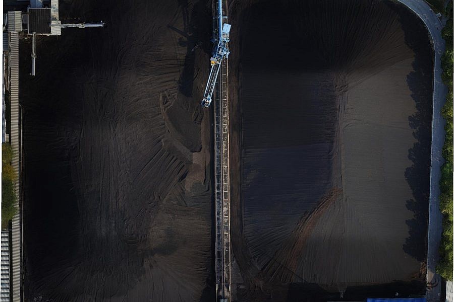
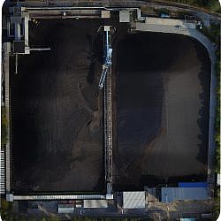
TE-TOL (Termoelektrarna Toplarna Ljubljana) is an important producer of thermal and electrical energy in Ljubljana. Meeting over 90% of the heating needs within Ljubljana’s remote heating system, the company obtains energy from coal, which it stores in a vast external landfill near the heating plant. For the purposes of inventory conducted in late September 2016, the heating plant required the information regarding the amount of coal in the landfill, and needed to obtain said information economically and quickly, without interrupting ongoing work processes at the landfill. Geavis was able to meet the above expectations by carrying out photogrammetric measuring.
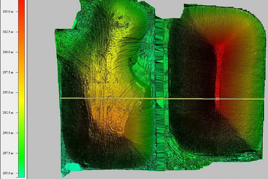
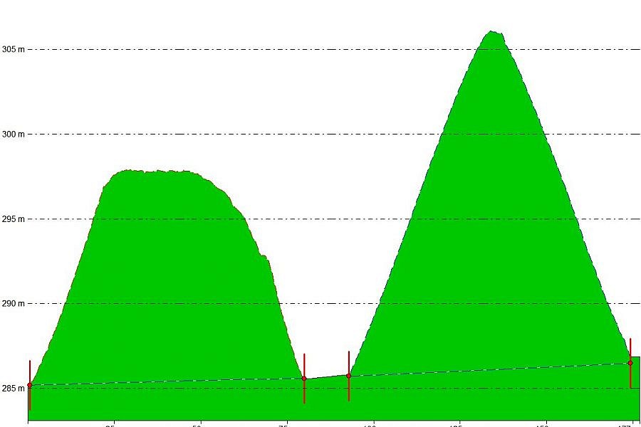
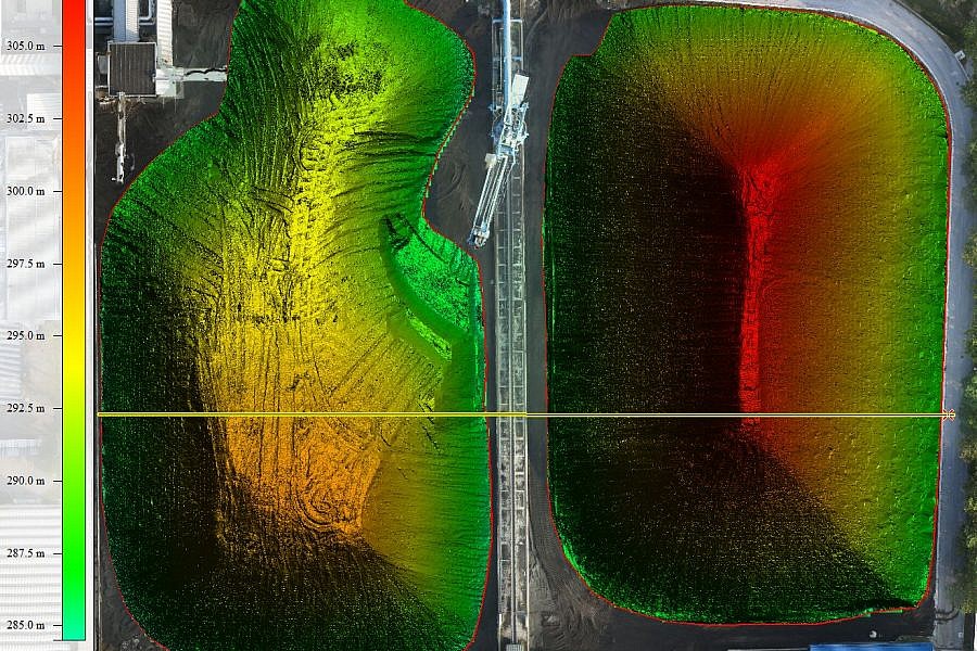
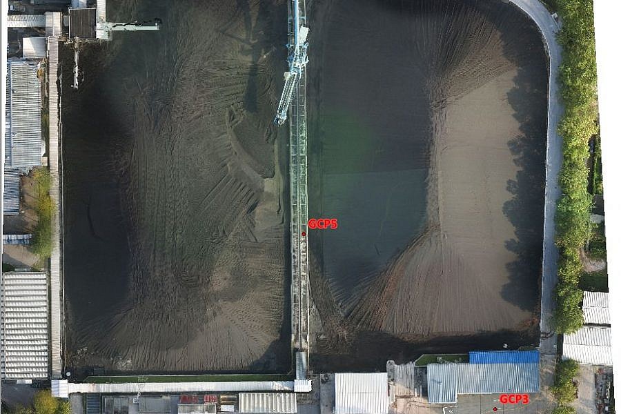
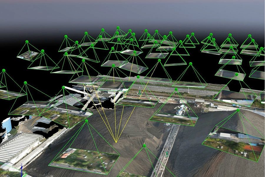
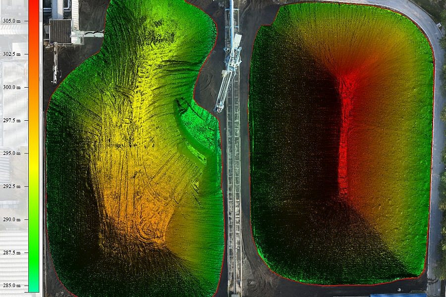
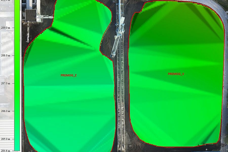
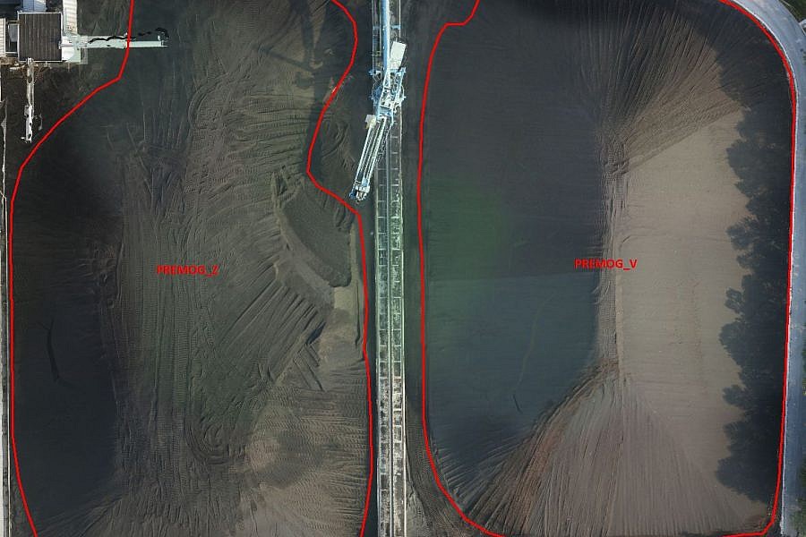
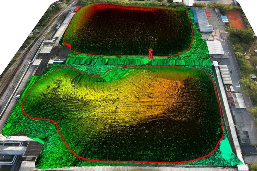
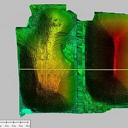
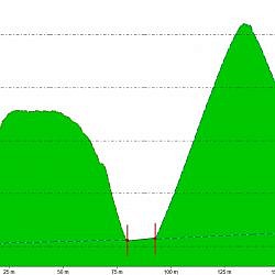
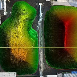
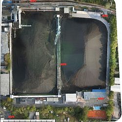
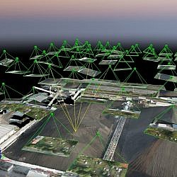
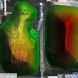
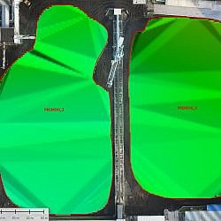
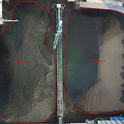
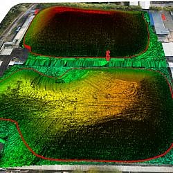
In the initial phase, aerial photos were taken of the landfill area from the altitude of 50 m. We were thus able to also photograph the immediate vicinity and capture 5 control points, based on which we later orientated the photos and placed them within the National Coordinate System. Applying the methods of close-range photogrammetry, we created the georeference and metric 3D model of the slope of the stored coal, which then served as the basis for volume calculation. To calculate the volume, we captured the material located between the plane of the foot of the slope and the surface of the slope.
By means of close-range photogrammetry methods, i.e. using the photos taken close to the facilities in questions, we were able to capture high-quality data and do highly accurate spatial calculations. Since we decided to forgo traditional measuring by a surveying team on difficult-to-access and dangerous terrain, we managed to save a lot of time and significantly decrease the risk of accidents.
- Location: area of the TE-TOL coal landfill, Ljubljana
- Area size: 25.000 m2
- Average GSD: 1.5 cm
- Resolution: 2 cm/px
- Number of aerial photos: 77
- Number of 3D points: 7.600.000

