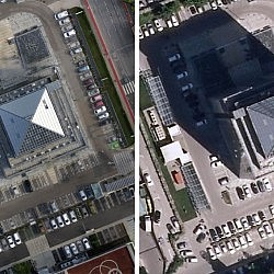
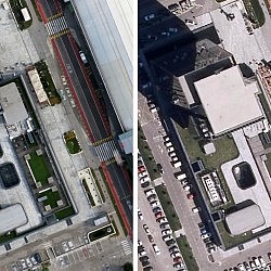
For several years, company BTC has been using a geographic information system to centrally manage the records on its real estate, infrastructure, and commercial areas. This allows the company to comprehensively manage its commercial facilities, lessees, and business operations. With the development of the BTC complex and the increase of scope and activities, BTC’s GIS became a complex information solution that requires current and quality data for effective use.
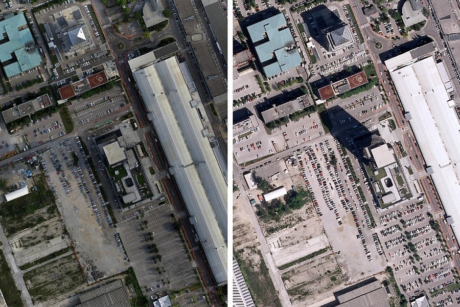
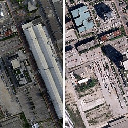
Since the last aerial photography, multiple developments and modifications in terms of use of space occurred in the area of BTC in Ljubljana, and the old raster layer, which is typically the most current GIS layer, no longer reflected actual conditions in the field. BTC thus entrusted the preparation of data for restorations to the company Geavis. With aerial photography of the area of BTC, we obtained high resolution photographs of the area, which we used to make a planar orthophoto map of higher quality and resolution than old BTC maps – the new orthophoto map has a resolution of 5 cm/px, while the older one has a resolution of 10 and even 25 cm/px.
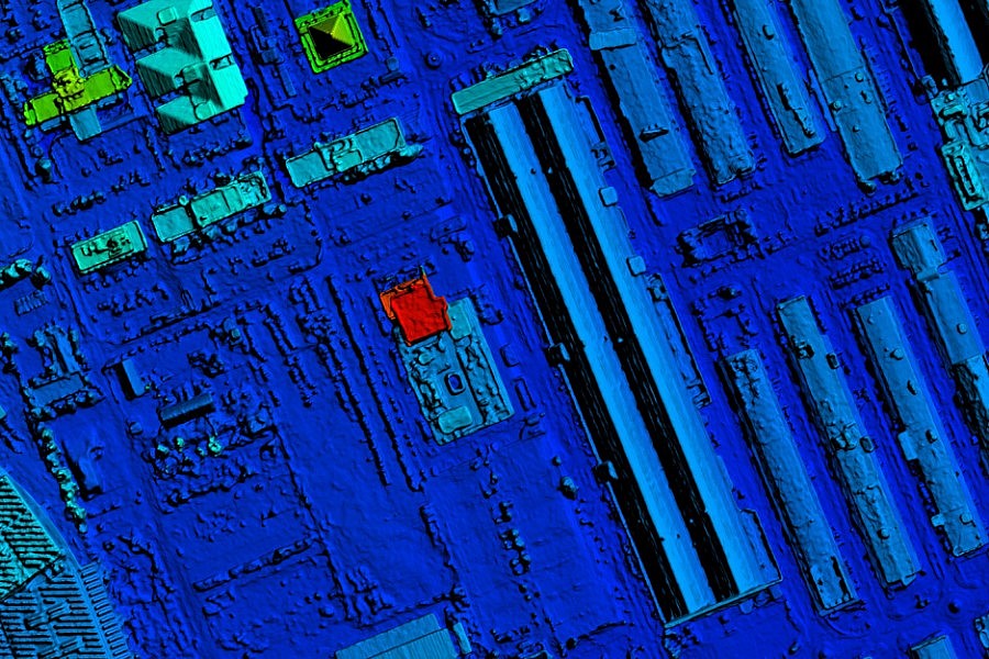
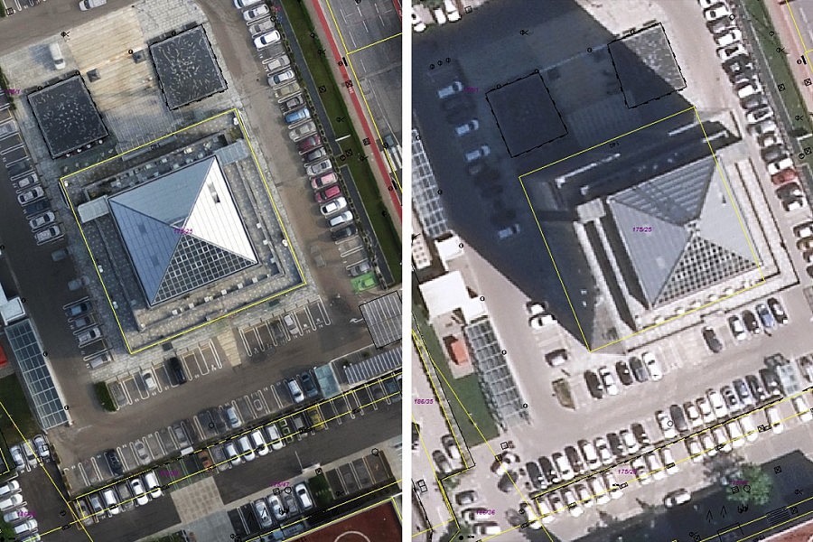
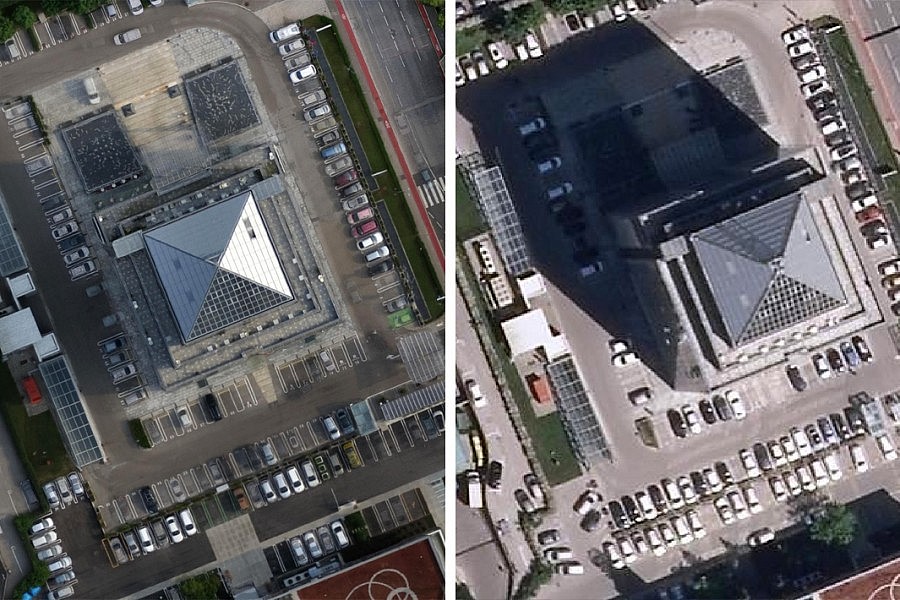
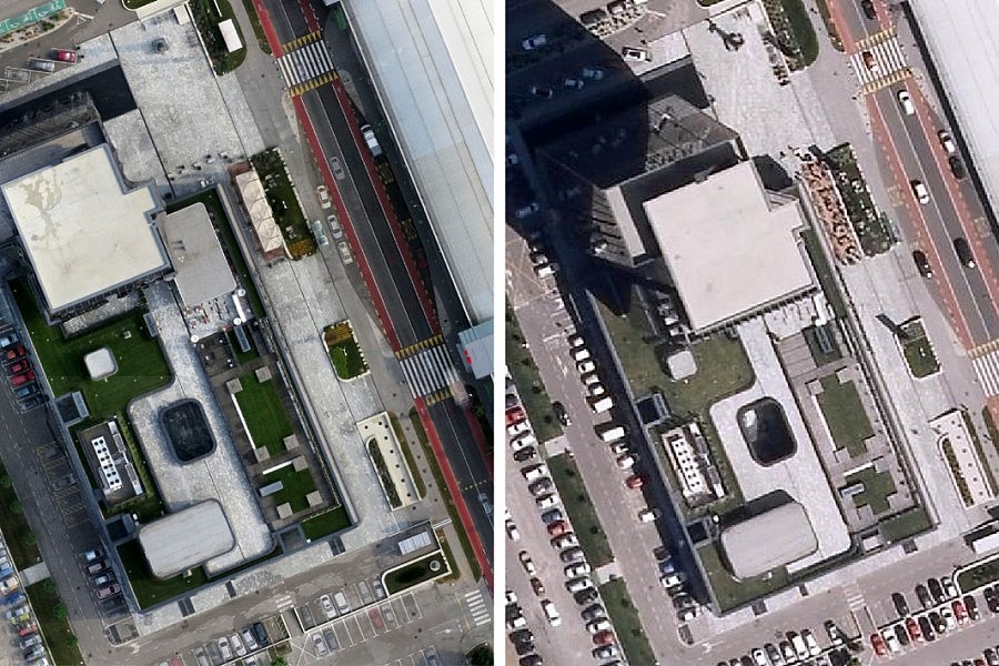
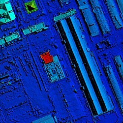
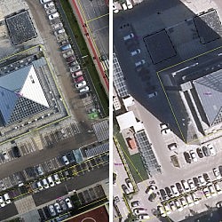
We used the latest technology of point cloud compressions, which allowed us to make a very precise digital surface model (DSM). This allowed us to create a so-called true orthophoto mosaic, with correct planimetric representations of buildings and other photographic elements located above the terrain. Buildings are thus presented in a spatially correct manner – building roofs are located directly above building foundations, without showing side walls and thus obscuring their surroundings. BTC used the acquired true orthophoto mosaic as one of the content layers in their GIS, providing numerous benefits, as it can be used to perform planimetric measurements, overlay various vector layers (e.g. municipal connections), or use it for overlaying a 3D model, for example.
- Location: shopping mall BTC, Ljubljana, Slovenia
- Area size: 218 ha
- Aerial photo resolution: 5 cm/px

