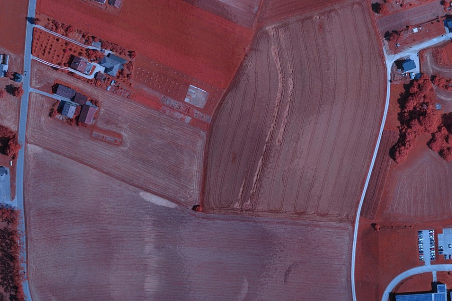
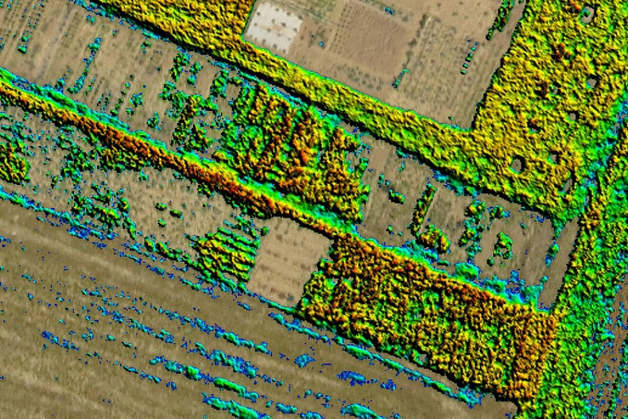
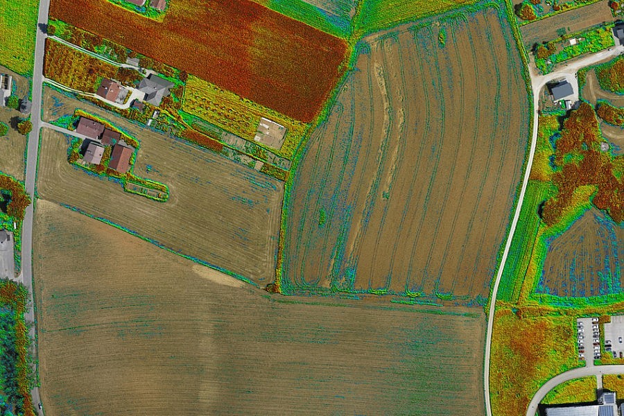
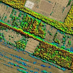
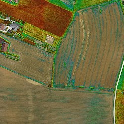
By flying unmanned aircrafts at low altitudes, it is possible to obtain sharply defined aerial images in 2 to 5 cm/px resolution, with every little detail of the terrain clearly visible. In addition to colour photos, infra-red photos can also be taken for farming purposes. For each point on the photo, the ratio between the absorbed and reflected light can be calculated in the red and infra-red section of electromagnetic radiation. The calculated index is called NDVI (normalised difference vegetation index) and indicates the vegetation’s “health” with certainty.
NDVI is a good indicator of the vegetation’s biophysical characteristics and vitality, and is also used to determine vegetation stress. The latter may be the result of various factors ranging from exhausted ground and drought to diseases and pests. This method of detecting vegetation stress has been known for more than 40 years and is mostly applied based on satellite images, but the flexibility of such recordings is rather restricted. Small unmanned aircrafts provide our customers with flexibility and affordability. The aerial photos enable the detection of even the slightest differences in the richness of vegetation in the fields, thus enabling farmers to meticulously plan their measures aimed at improving growth and later on to check the effectiveness of such measures. The applicability of this approach is seen, for example, in determining:
- plant species, their number and scope of population
- overgrowing of cultivation areas
- crop quality and ripeness
- ground’s moisture content
- plant health: presence of pests, weed or diseases
- fertility of cultivation areas
- pollution of cultivation areas
- erosion phenomena.
- Location: agricultural areas in Ivančna Gorica, Slovenia
- Area size: 77 ha
- Number of flights: 2 (1 x RGB, 1 x NIR)
- Total flight time: 34 min
- Aerial photo resolution: 5.5 cm/px

