The Ljubljana Regional Waste Management Centre (RCERO Ljubljana) is the greatest environmental cohesion project in Slovenia, in the framework of which waste from as many as 37 Slovenian municipalities is being collected. It is managed by the Snaga Ljubljana public company, acting under powers delegated by the City of Ljubljana (MOL) and other municipalities.
The Centre comprises the waste landfill, the leachate treatment plant and waste processing facilities. The waste landfill is a field used to deposit non-hazardous waste into fractions collected separately. Spread over nearly 5 hectares, the landfill can potentially accommodate app. 900 thousand cubic metres of waste.
Since Snaga Ljubljana would like to regularly monitor the amounts of accumulated waste fractions on the landfill site in order to conduct independent control, the task of periodic volume measurements and calculations was entrusted to Geavis.
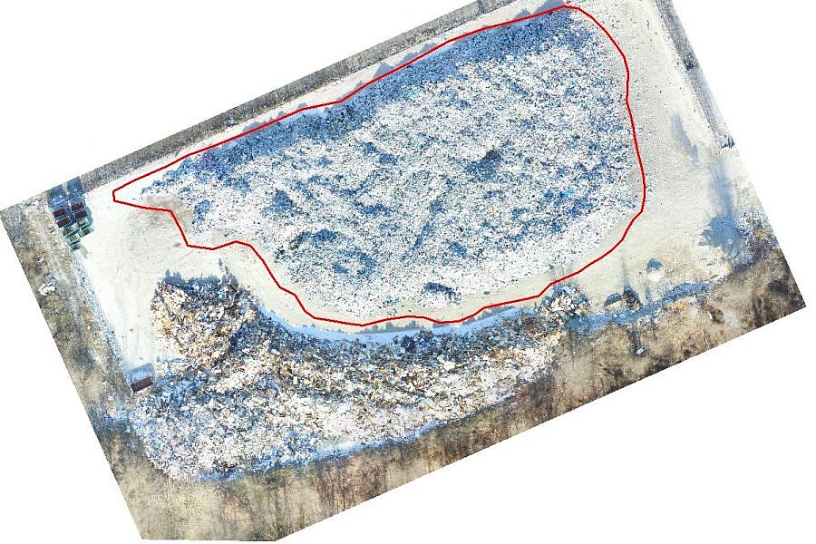
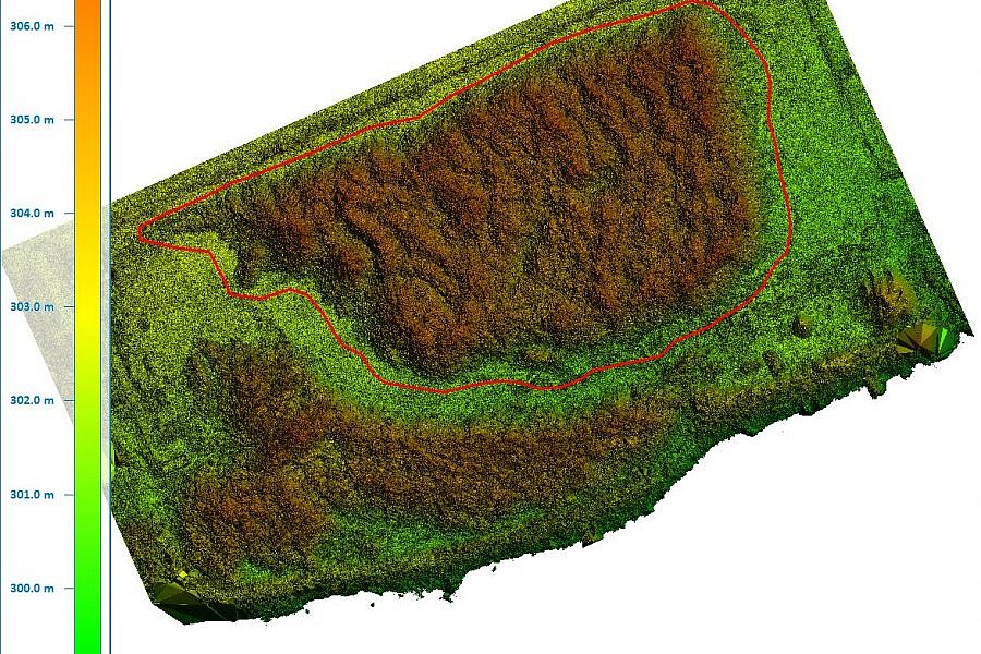
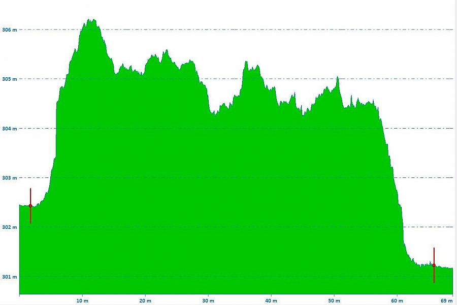
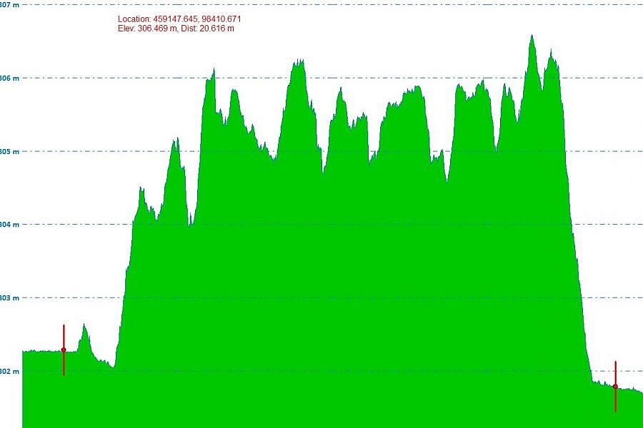
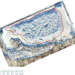
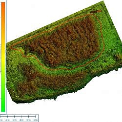
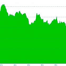
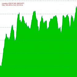
The aerial photos of the landfill are obtained by means of an unmanned aircraft flying at the altitude of 40 m. Through georeferencing, the aerial photos are then properly orientated and placed within the National Coordinate System. For georeferencing, we can use control points from the geodetic reference network obtained through GNSS measurements. Using photogrammetric algorithms from aerial photo stereopairs, we create a dense point cloud and use it to make a georeference and metric Digital Terrain Model (DTM) for the waste heap, along with an orthophoto mosaic, both of which enable conducting geometric measurements and calculations.
We can thus accommodate the client’s needs by calculating the volumes of the heaped waste fractions, whereby the calculation includes the material between the plane of the landfill and the surface of the heap.
By applying these procedures, Geavis can quickly and simply provide Snaga Ljubljana with precise information on the volume of waste fractions, so that the company can plan and calculate further processing with greater efficiency.
- Location: Ljubljana Regional Waste Management Centre
- Area size: 4 ha
- Average GSD: 2 cm
- Resolution: 2 cm/px
- Number of aerial photos: 230
- Number of 3D points: 46.000.000

