We provide geospatial services including acquisition of spatial data and their analysis, visualisation and interpretation of the area, terrain or buildings. For this purpose we use a comprehensive range of the latest state of the art remote sensing technologies using small unmanned aircraft and terrestrial 3D laser scanners, professional algorithms and powerful modelling tools. Thereby we rely on our own expertise and skills in the field of photogrammetry.
Technology
... and its advantages
ACCURATELY
View the world in high resolution
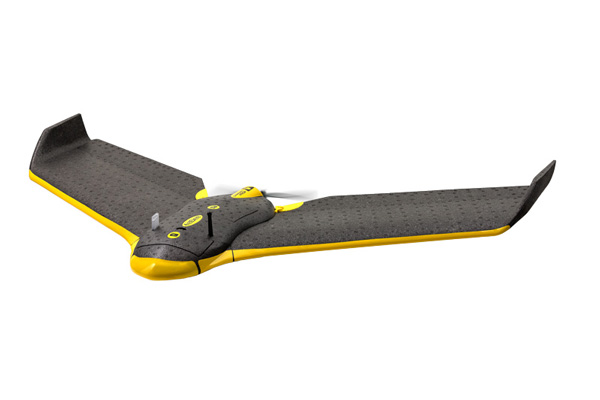
By flying at low altitudes, we are able to obtain sharply defined images with every little detail of the terrain clearly visible. With a full battery, the flight takes up to 45 minutes during which the aircraft flies over 30 km. By changing batteries, the time of use can be prolonged, enabling high-resolution aerial survey of areas extending over up to 10 km2. The aerial images taken, the resolution of which ranges from 3 to 10 cm ground sampling distance, can be used to prepare plans and models of the terrain and buildings with the precision of 1–2 GSD.
SAFE
Complete control for top-level safety
The aircraft’s sensors constantly report all of the aircraft’s vital functions, enabling the operator to control its position, altitude, speed and state of the battery. The autopilot makes sure that the flight is taken along the planned route, that the camera is activated and that the GPS/IMU data is recorded. The operator can focus his/her complete attention on controlling the flight, immediately responding to any changes of the planned route. Small mass, flexible material and low speeds mean that the risk of damage due to potential collision of the aircraft with another object is minimal and negligible.
EVEN IN WORSE WEATHER
A bad weather forecast does not necessarily mean that a flight has to be cancelled
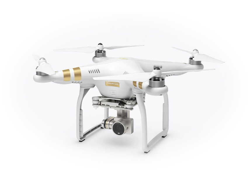
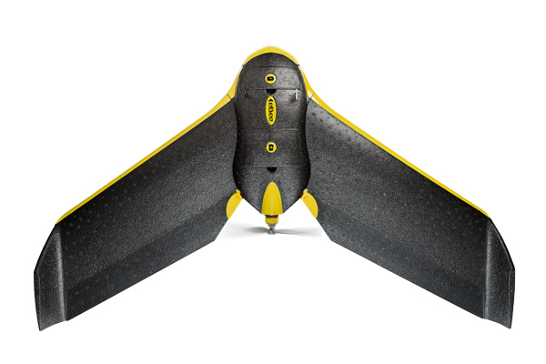
In order to carry out the planned flight, the aircraft only requires favourable weather conditions in the local area where photos are to be taken (cloud base at 300 m above the terrain without strong wind). While using a manned aircraft makes us dependent on weather conditions even on the way from the airport to the survey location, no such restrictions apply when small-scale unmanned aircrafts are used.
IN INACCESSIBLE AREAS
A dynamic surface simply represents a greater challenge
Being small, light, agile and, above all, fully controllable, an unmanned aircraft enables simple and adequately accurate taking of aerial photos even in areas that are inaccessible or even dangerous when other techniques are applied. A special sensor used to detect distance from the ground is superior to the capabilities of a GPS and helps the aircraft to navigate safely and effectively above diverse terrains while, at the same time, simplifies landing.
OPERATIONAL IN SECONDS
Instantly ready for action
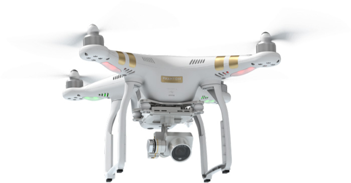
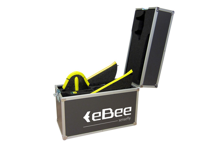
The entire equipment is simple and composable, ready to fly and survey in a matter of minutes. The aircraft is completely autonomous and can be operated by a single person without difficulty. For our clients, this means that less time is wasted, services are implemented more effectively, and image analyses can be prepared sooner.
PHOTOREALISTIC PRESENTATION
OF THE EARTH'S SURFACE
Large areas at hand
Processing of large volumes of spatial data for the purpose of modelling and analysis of large areas of the earth’s surface and objects has become extremely efficient. Our professional photogrammetric processes make the transformation of a large number of aerial photographs in digital raster and metric 2D or 3D plane models and georeferenced orthophoto maps HD simple, fast and accurate. For our customers, the access to visualization, simulation and other surveys allowing a realistic presentation of space has thus become easier than ever before. A large range of digital output formats allows our users using them for different subsequent purposes and systems.

